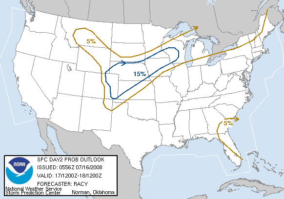
On Saturday morning, the outlook from the NWS looks as above. We remain on the edge of the “slight risk” area for severe weather. The second image below is the probability of tornadoes and we are near the 2% line. Look, the bottom line hasn’t changed much. There is some concern due to a few of the dynamic indicators….the wind patterns…show some hint of potential to support severe storms. Most, however are marginal. So, we look toward energy supplied by heat and the fact that this event will be overnight, available heat energy is not what it might be on a summer night and certainly not what it would be while the sun is up. But, it will be a relatively warm night. So, while the possibility is enough for us to keep our eyes opened, the probability is not sufficient for you to catch a flight for Tahiti….though that sounds like fun. Just enjoy the games tonight and I will be here monitoring the situation. I promise I will try to limit interruptions and our crawl should not interfere with your viewing. Its still a good idea to review with your family the procedures in your home should a tornado show up some time. John Wooden often said that failure to prepare was preparing for failure. Its an old adage but its true. And failure if a big ole twister plopped down in your yard could mean more than just a bad grade.
This Date in History On this date in 1973, the Mississippi River at St. Louis finally crested after 77 days of flooding. No type-o there….77 days. It was still many more weeks before it went below flood stage. There were numerous causes. First off, there was a whole bunch of rain in the fall in the Mississippi sink…or the area that drains into the Mississippi. The area is huge, encompassing much of the Central and Northern plains and parts of the Midwest. So, there is a whole bunch of water. That winter it got very very cold. If I recall correctly, I remember news reports of the Big Muddy being frozen from St. Louis northward which caused a big problem for the commodities transported up and down the river. The ice jam broke and so all of this ice and water from the fall all moved at once. Between Baton Rouge, LA and Natchez MS there is a place called Simmesport, LA. at that point, the Mississippi breaks off, with part of the water going down the Atchafalaya River. The Atchafalaya is said to be a former channel for the Mississippi. At Simmesport, they have a dam and flood control project designed to prevent the Mississippi from going back its old way. In 1973, it tried to do just that. By law, the flood control boys can only release a maximum of 30% of the flow into the Atchafalaya but the river is not bound my man’s laws. The flood control project could have possibly used the Heavy Hitter in defense because the river was relentless. I was told by an Geologist in Natchez that the Corps of Engineers at Simmesport had dumptrucks dumping huge boulders into crevaces around the structure for 24/7 during a particularly tough week. He said they came very very close to losing the entire dam and that its not a matter of if the river takes its course, but when. Had they lost that structure, the Mississippi River would now be flowing between Lafayette, LA and Baton Rouge and the ports of New Orleans and Baton Rouge w0uld be largely ghost towns as the might river would have left them high and dry. Again, if I recall, that 1972/73 winter was toward the end of a series of very very cold winters across the nation and the evening news and the papers were filled with stories about how we were heading back toward an ice age. Amazing how 30 years can change the headlines.